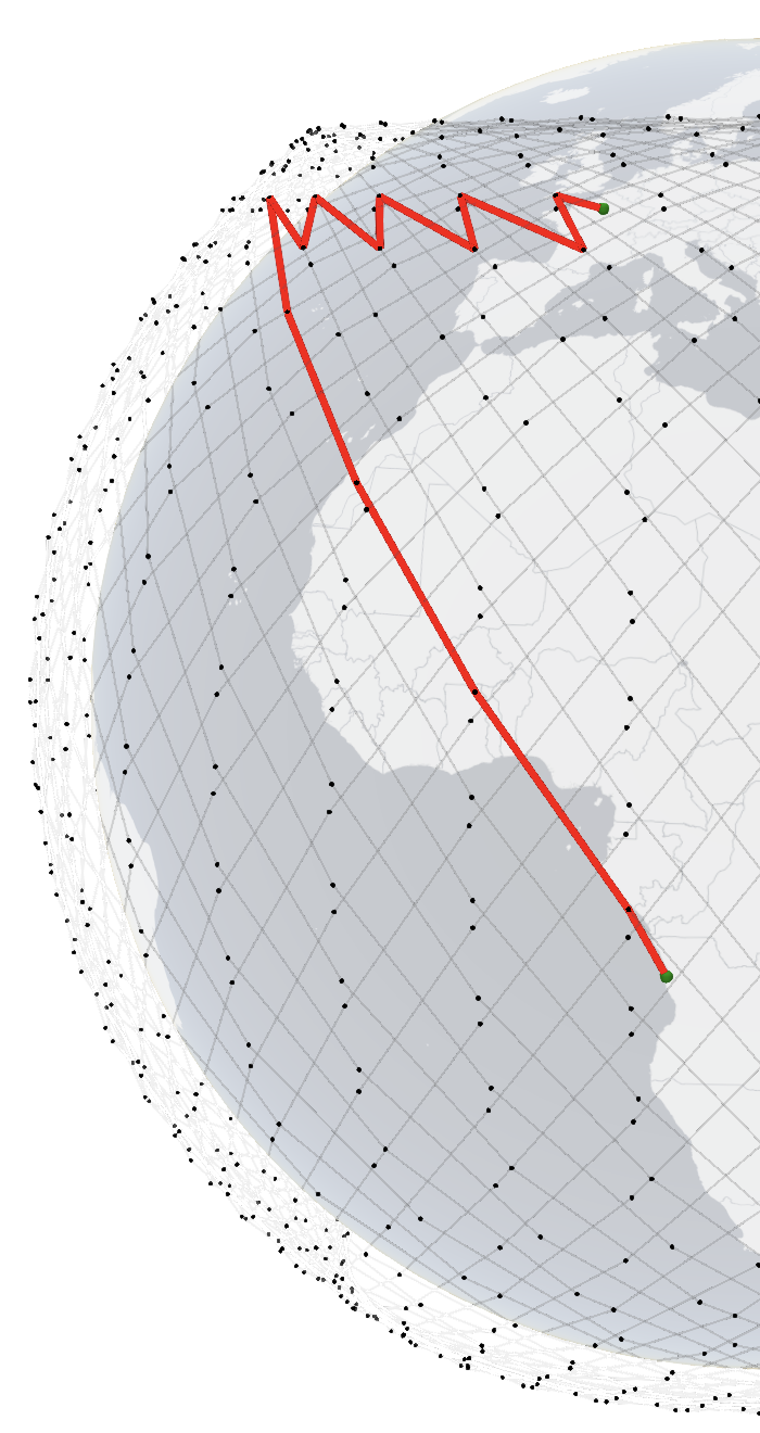
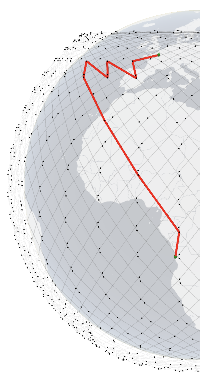
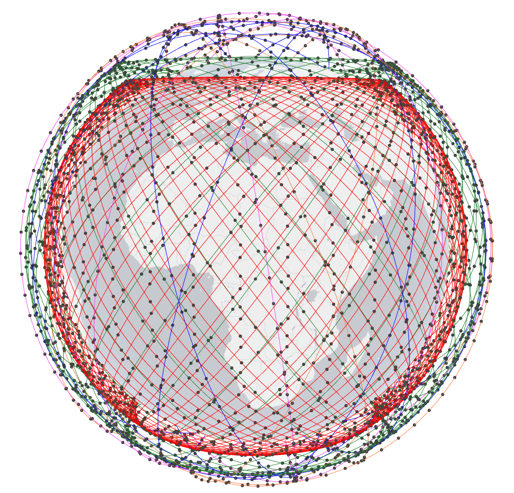
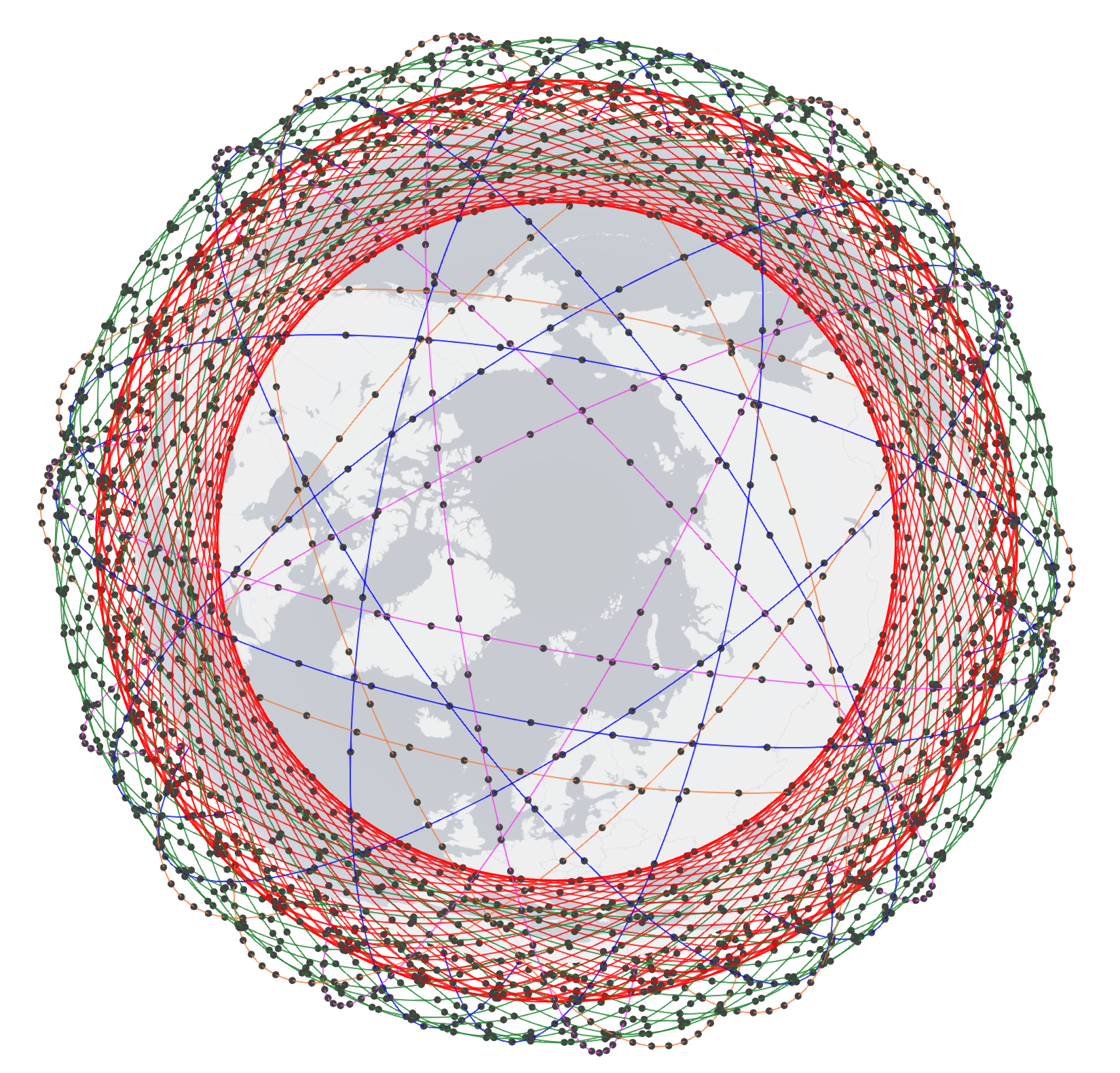
| Height (km) | No. of orbits | No. of sats/orbit | Inclination | Color code |
| 550 | 72 | 22 | 53° | Red |
| 1110 | 32 | 50 | 53.8° | Green |
| 1130 | 8 | 50 | 74° | Blue |
| 1275 | 5 | 75 | 81° | Magenta |
| 1325 | 6 | 75 | 70° | Orange |
Sources:
https://fcc.report/IBFS/SAT-LOA-20161115-00118/1158350
https://fcc.report/IBFS/SAT-LOA-20170726-00110
https://fcc.report/IBFS/SAT-MOD-20181108-00083
https://fcc.report/IBFS/SAT-MOD-20190830-00087
https://fcc.report/IBFS/SAT-MOD-20181108-00083/1569860.pdf
|
|
| Side view (Equator) | Top view (North Pole) |
| Click here for 3D (Firefox) | |