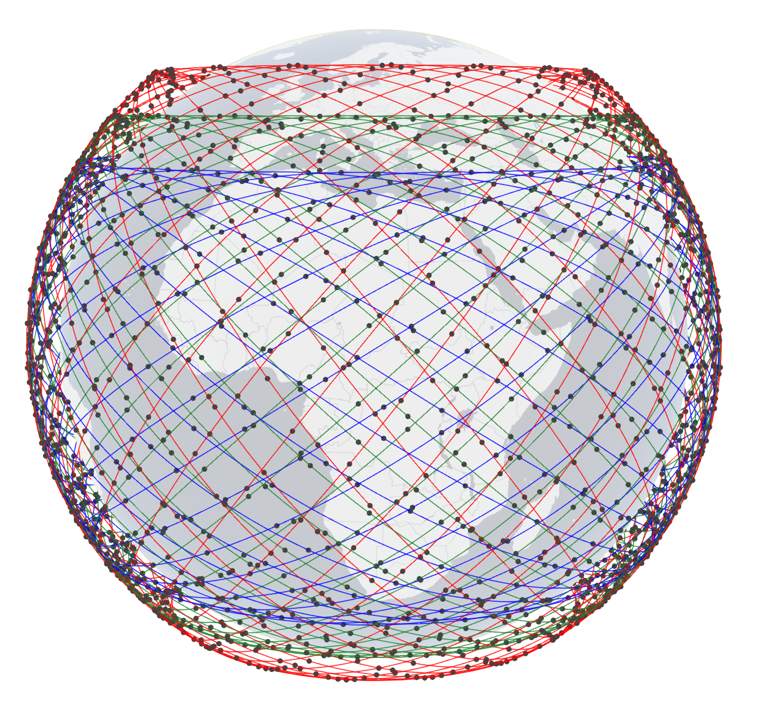
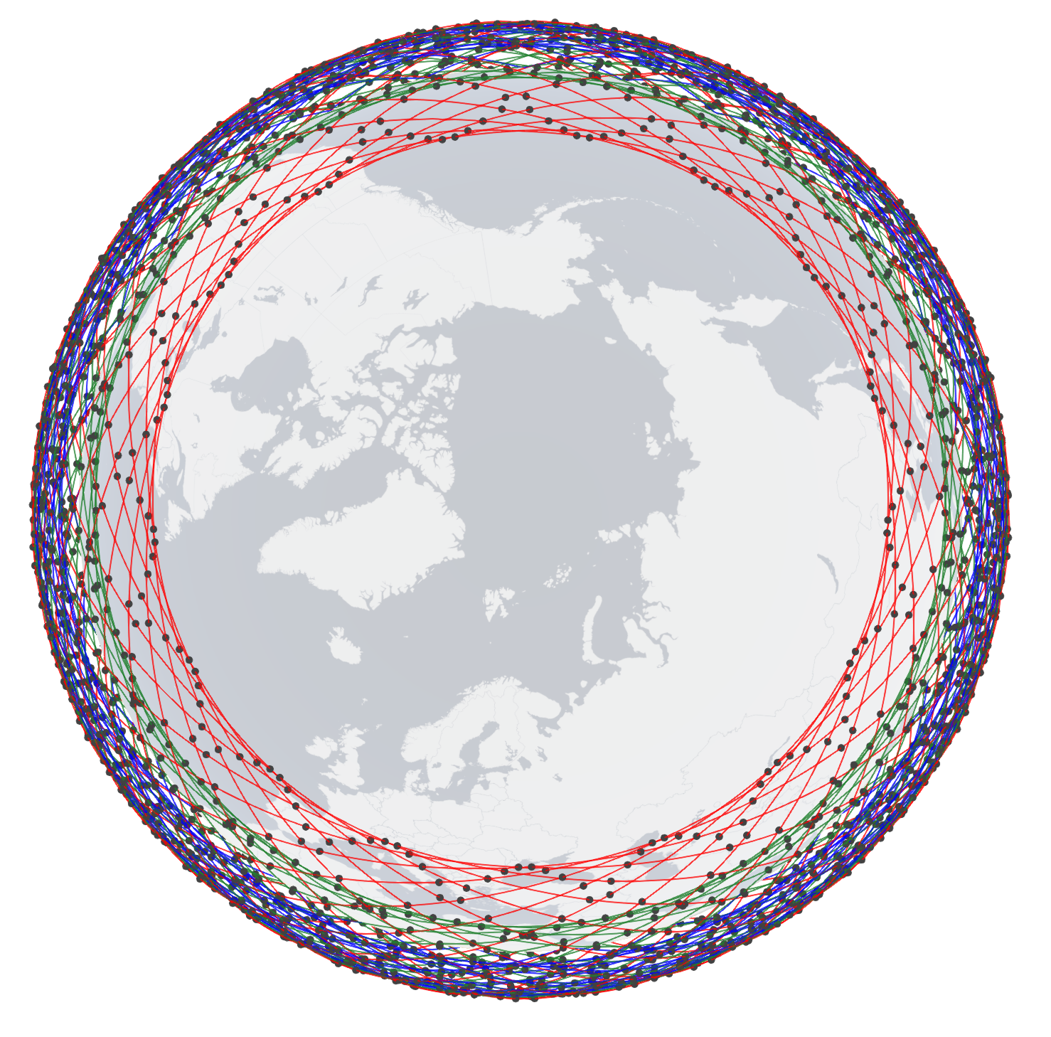
| Height (km) | No. of orbits | No. of sats/orbit | Inclination | Color code |
| 630 | 34 | 34 | 51.9° | Red |
| 610 | 36 | 36 | 42° | Green |
| 590 | 28 | 28 | 33° | Blue |
Sources:
https://www.itu.int/ITU-R/space/asreceived/Publication/DisplayPublication/8716
https://www.itu.int/ITU-R/space/asreceived/Publication/DisplayPublication/8774
https://www.itu.int/ITU-R/space/asreceived/Publication/DisplayPublication/8718
https://licensing.fcc.gov/myibfs/download.do?attachment_key=1773885

|

|
| Side view (Equator) | Top view (North Pole) |
| Click here for 3D (Firefox) | |

